

Hazardous Extremes for Risk Assessment (HERA) Tool
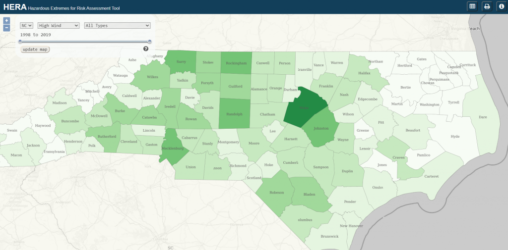
Welcome to the Hazardous Extremes for Risk Assessments (HERA) tool. HERA is a geospatial tool created for decision-makers to access climatological hazards via an interactive web map. In 2022, we expanded the tool to all southeastern states (NC, SC, AL, FL, GA, KY, MS, TN, VA). Please click on the image below to access the HERA tool. The updated tool will exist on a separate web page for a better user experience.
To access the previous version of the HERA tool, please click on the ‘HERA Legacy’ button. HERA Legacy